The MLS system operates at a frequency band of 5031,0 – 5090,7 MHz on two separate channels at a mutual interval of 300 kHz. The protractor part of the MLS system provides continually information about an aircraft’s position relative to the runway both in the vertical and horizontal plane. The rangefinder part enables to measure the distance between an aircraft and the reference points in the approach process. The angular information for the approach course, descent, flare and go-around is determined by measuring the interval between two passages of an oscillating plane lobe through an onboard MLS antenna.
The MLS system is capable to provide coverage of maximum ± 60.0° in the azimuthal (horizontal) plane, whereby a typical device makes use of only ± 40.0° from the runway’s axis in the azimuthal plane for the final approach and ± 20.0° for a missed approach course, see Fig. 3. Of which the minimal ordained proportional homing sector is ± 10.0° from the runway’s axis. Thereafter is the space covered in the vertical plane from 0.9° to 15° with a coverage up to an altitude of 6000 m, for an approach distance of 37 km (see Fig. 4) and to a height of 1500 m and distance of 9,4 km for a missed approach.
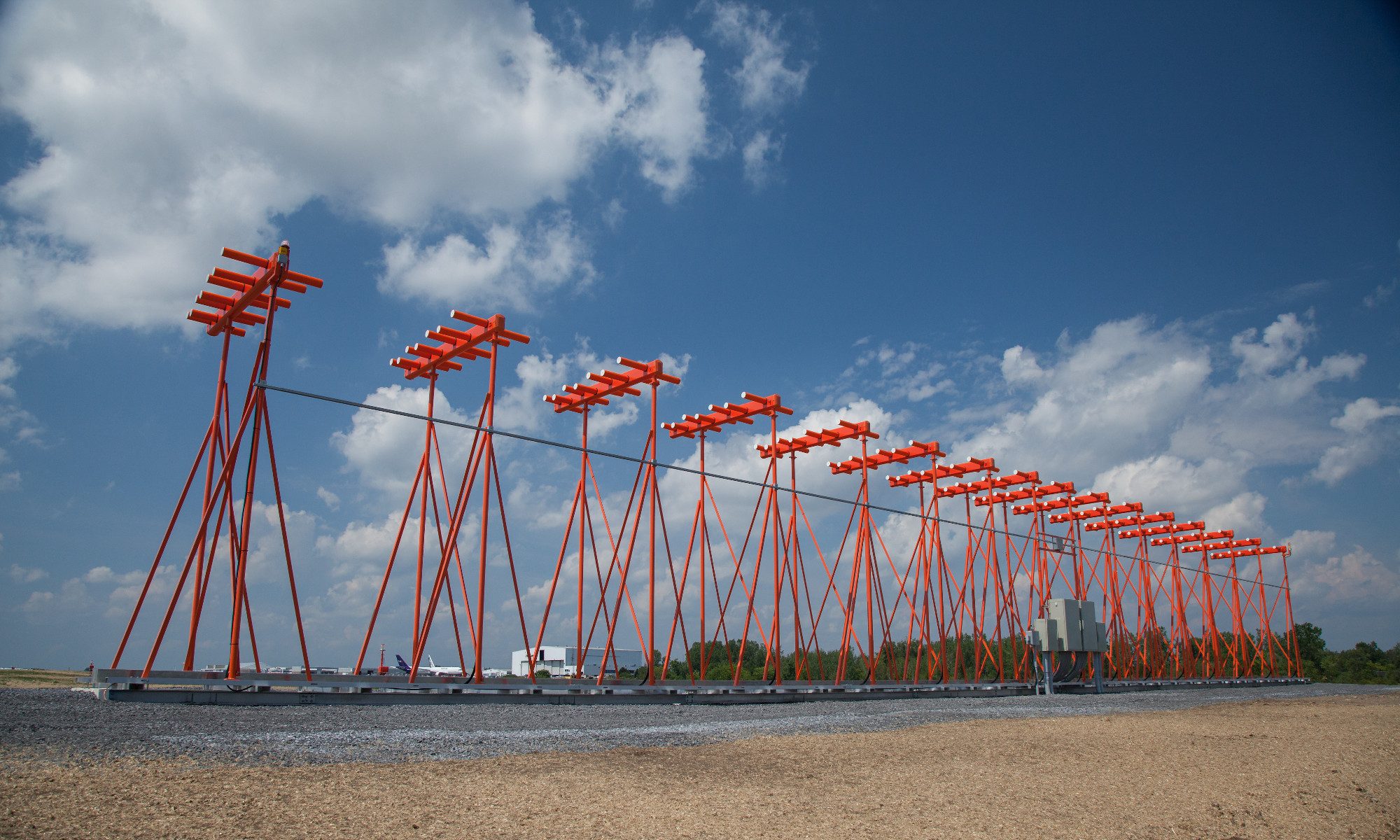
 Figure 3 – An illustration of the horizontal signal’s coverage and it’s oscillation.
(figure source: http://accessscience.com/loadBinary.aspx?filename=424150FG0020.gif)
 Figure 4 – An illustration of the vertical signal’s coverage for various glide slope angles.
(figure source: http://www.airresearch.com/Pilots/AIM/Chap1/f0101009.gif)
All data stated below is gradually transmitted on the same frequency with a repetitive frequency:
- 13 Hz – azimuth (course guide), for systems with the ability to swiftly restore the course information a frequency of 93 Hz is used.
- 6,5 Hz – missed approach course
- 39 Hz – elevation
In order to maintain a synchronized timing of the transmission’s individual data blocks, are all parts of the MLS synchronized. Data about the distance is received separately on an interconnected DME channel. Utilizing the MLS data with onboard computers and control systems, it’s possible to carry out a precision approach and landing in similar fashion as with the ILS system, on top with the option to execute curved of broken arched trajectories of approach and automatic landings. All parts of the MLS system include their own monitor circuits that in the case of an out of tolerance deviation of some outer MLS parameters switch the devices on a back up array. In case of a long-time deviation the pilot gives notice about the change to the traffic control.
The exact information about an aircraft’s position enables to perform more complicated procedures, as flying along a curved glide slope or using multiple glide slopes. An appropriate precision allows to improve the air traffic flow on busy airports through curved fly paths. ICAO quantifies the required system’s accuracy as stated in the ICAO regulations Annex 10.
The complete accuracy limits include all errors caused by the onboard equipment and radio waves broadcast. They’re specified for a part of the flight path containing the reference approach altitude and reference missed approach height for a go-around. The reference landing height is 15 m (50 ft).